


Complete streets are designed so all modes of transportation can share the road safely, including automobiles, pedestrians, bicycles, and transit, by providing bicycle lanes or Shared Lane Markings, also known as sharrows, as well as sidewalks, parking, and transit accommodations.
Hillsborough County developed a Bicycle Safety Action Plan, or BSAP, which included the City of Tampa, Plant City, and Temple Terrace. The plan identifies projects and programs tailored to address the specific problems facing cyclists in Hillsborough County.
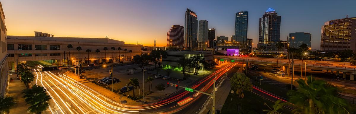
In 2011, the City of Tampa completed a Mobility Plan as well as the first phase of its Walk-Bike Plan which established a grid of bicycle and pedestrian facilities, linking the University of South Florida, Downtown, and the Westshore District. Additional phases of the Walk-Bike Plan were completed in subsequent years.The presentation of the Mobility Plan and Walk Bike Plan shows detailed maps of the proposed projects. Following is a summary of the completed Walk-Bike Phases.
- Walk-Bike Plan Phase 4 (Downtown CBD) (2014)
- Walk-Bike Plan Phase 5 (Green ARTery Concepts and Prioritization) (2016)
The City of Tampa has completed several Complete Street projects, which include:
- Palm Avenue, from Nebraska Avenue to 22nd Street
- Bayshore Boulevard, from Platt Street to Rome Avenue
- Swann Avenue, from Melville Avenue to Bayshore Boulevard
- MacDill Avenue, from Kennedy Boulevard to Spruce Street
- Bayshore Boulevard, from Howard Avenue to Rome Avenue
- Palm Avenue (North Boulevard to Nebraska Avenue)
- Cypress Corridor (Frontage Road to Westshore Boulevard)
- Bougainvillea Avenue (30th Street to 46th Street)
- Hyde Park Avenue and Plant Avenue Safety Improvements Project
Please visit our Bicycle and Pedestrian Information page for additional references and resources.